Extractive Archipelago

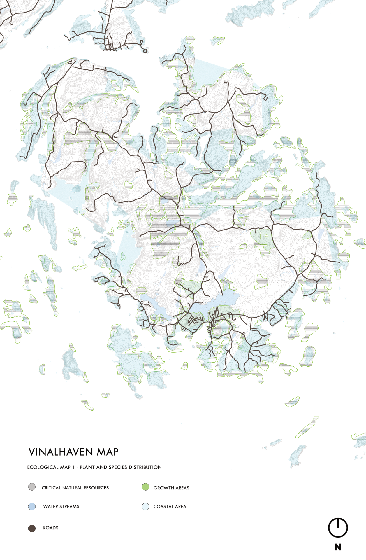
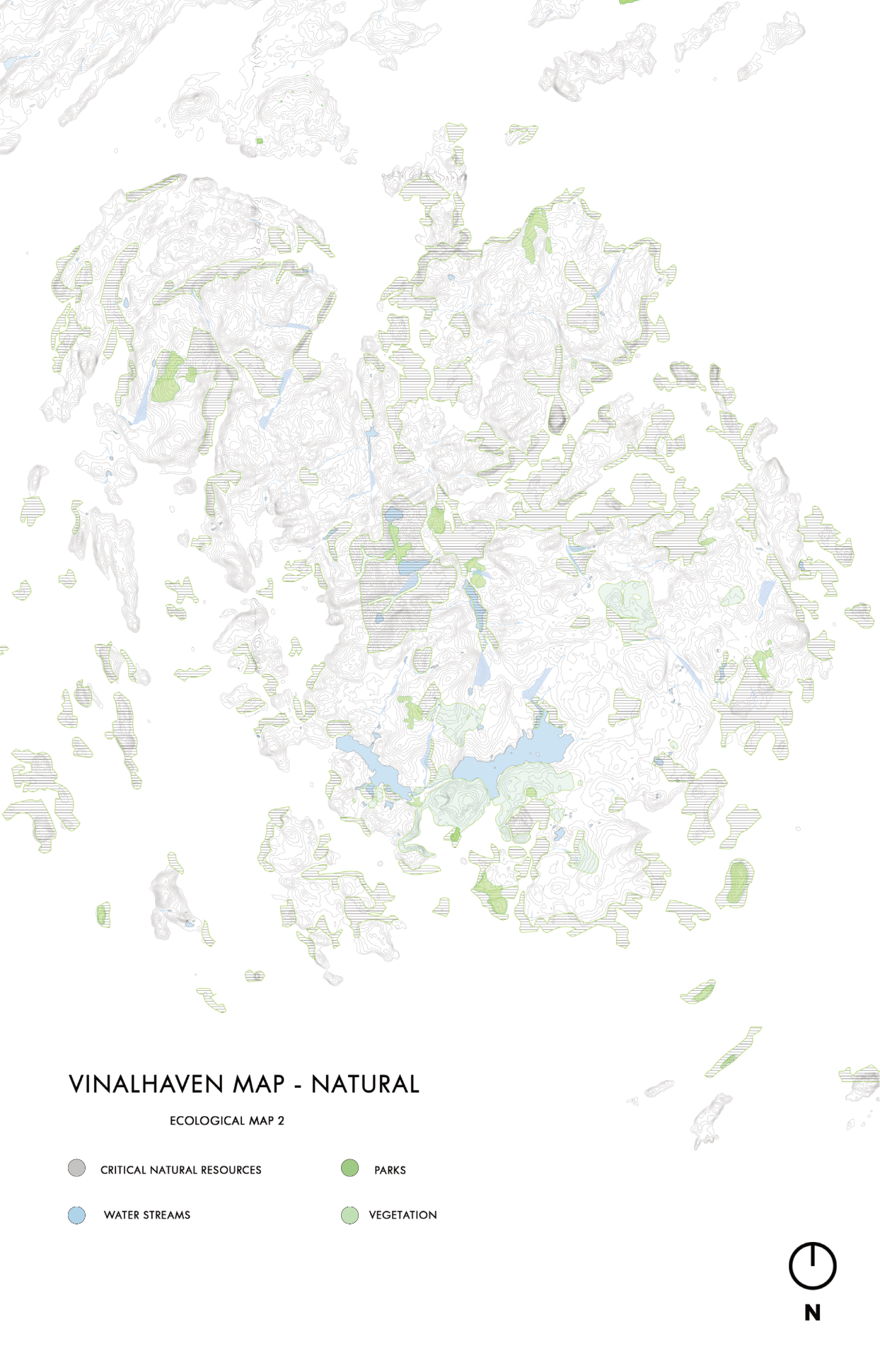
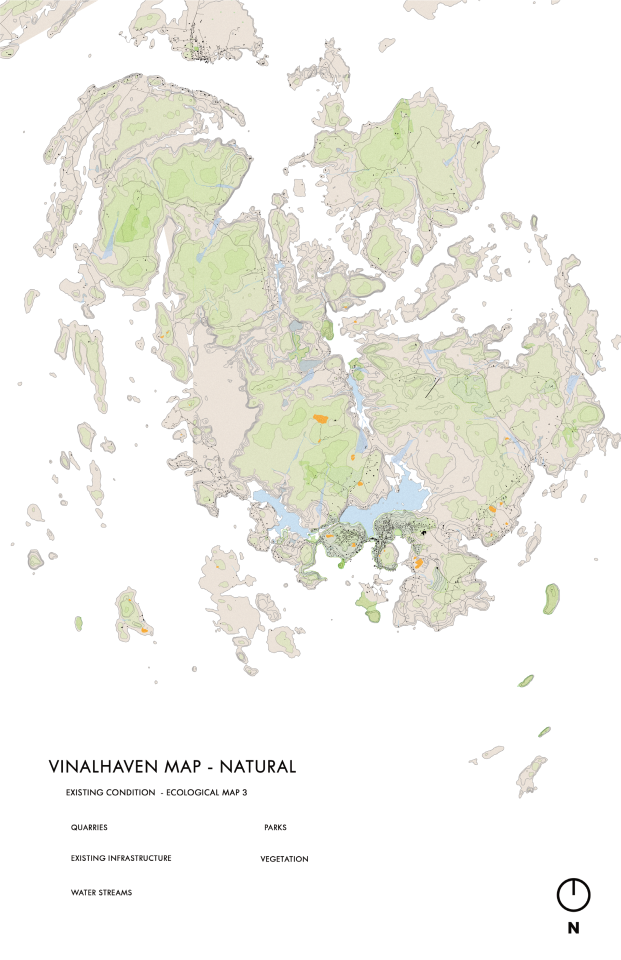
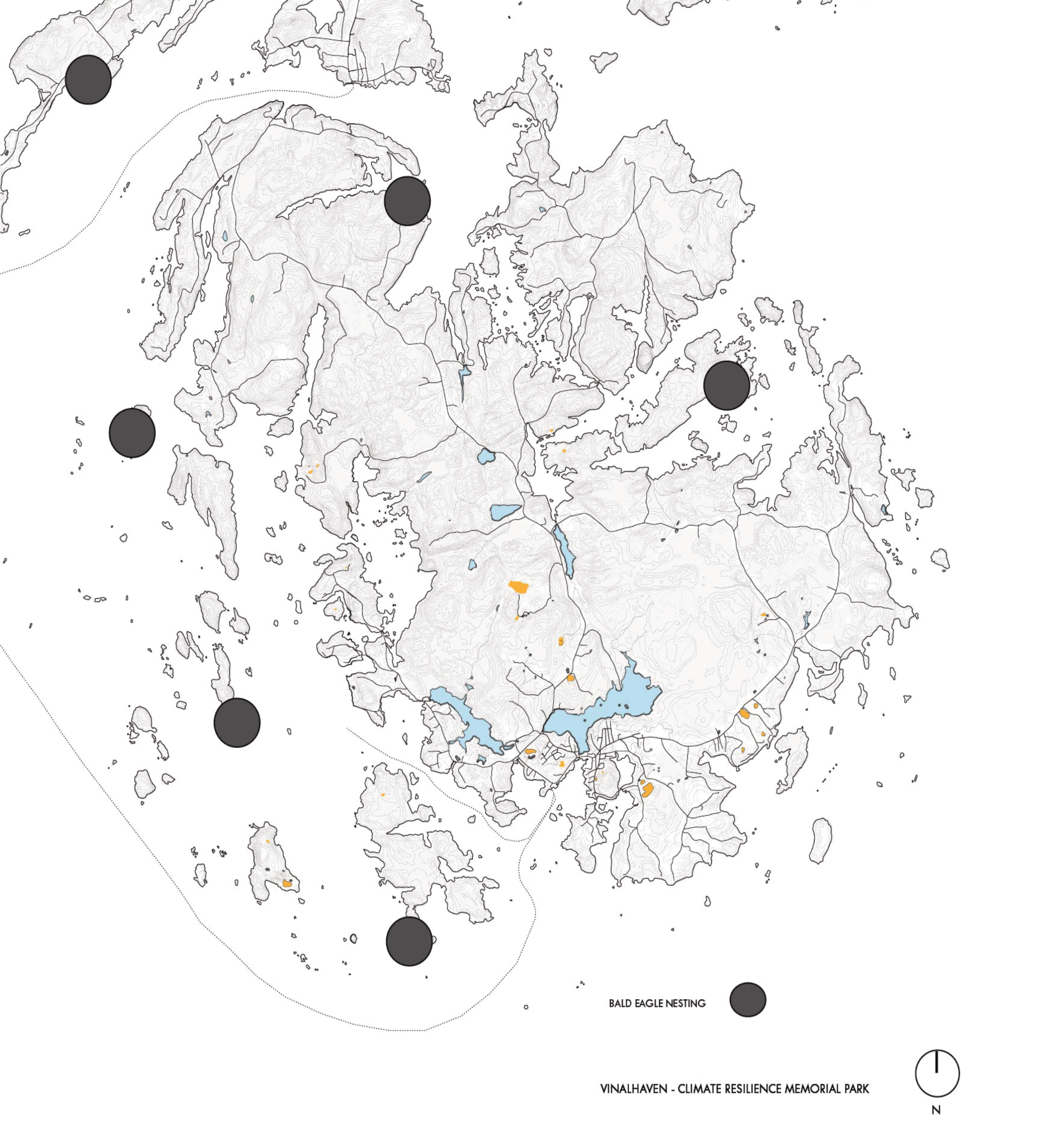
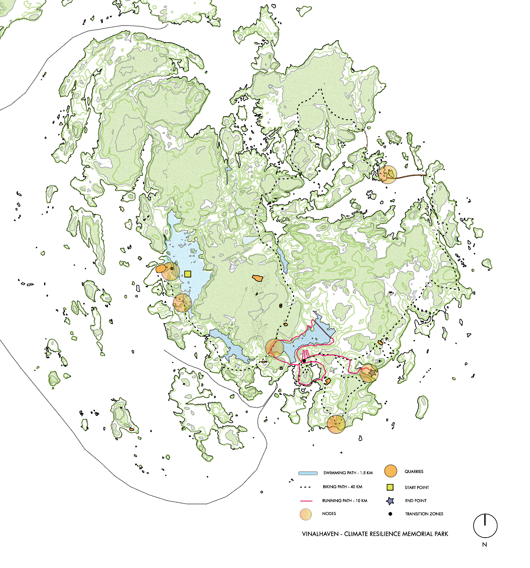
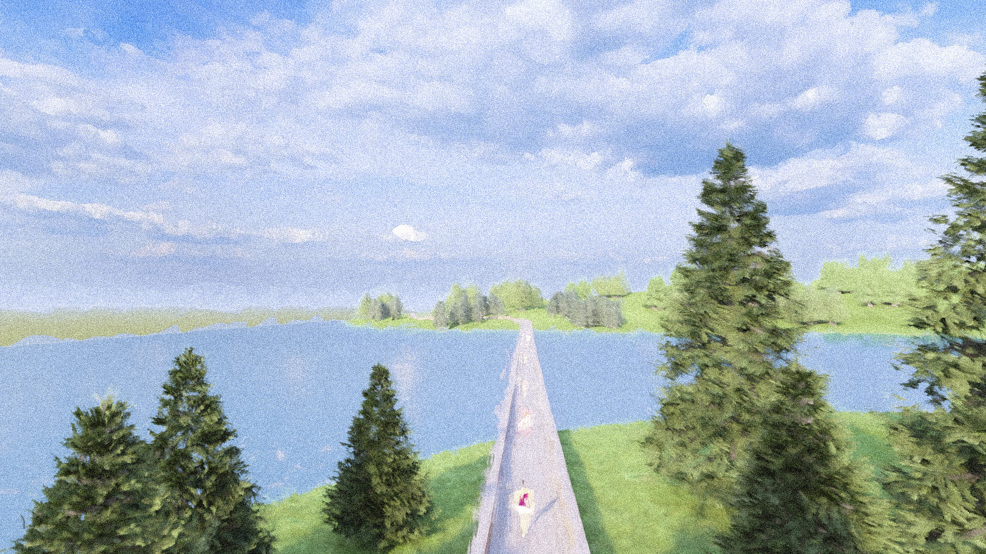
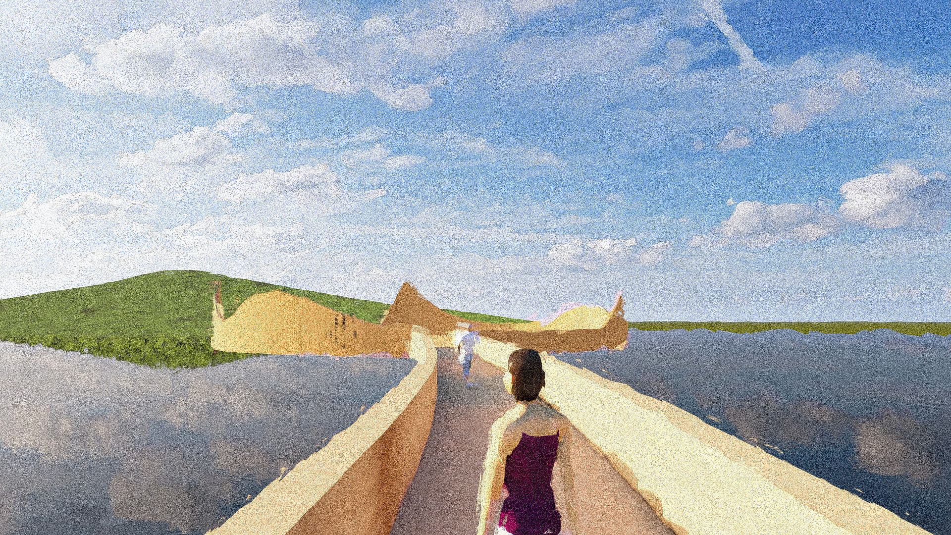
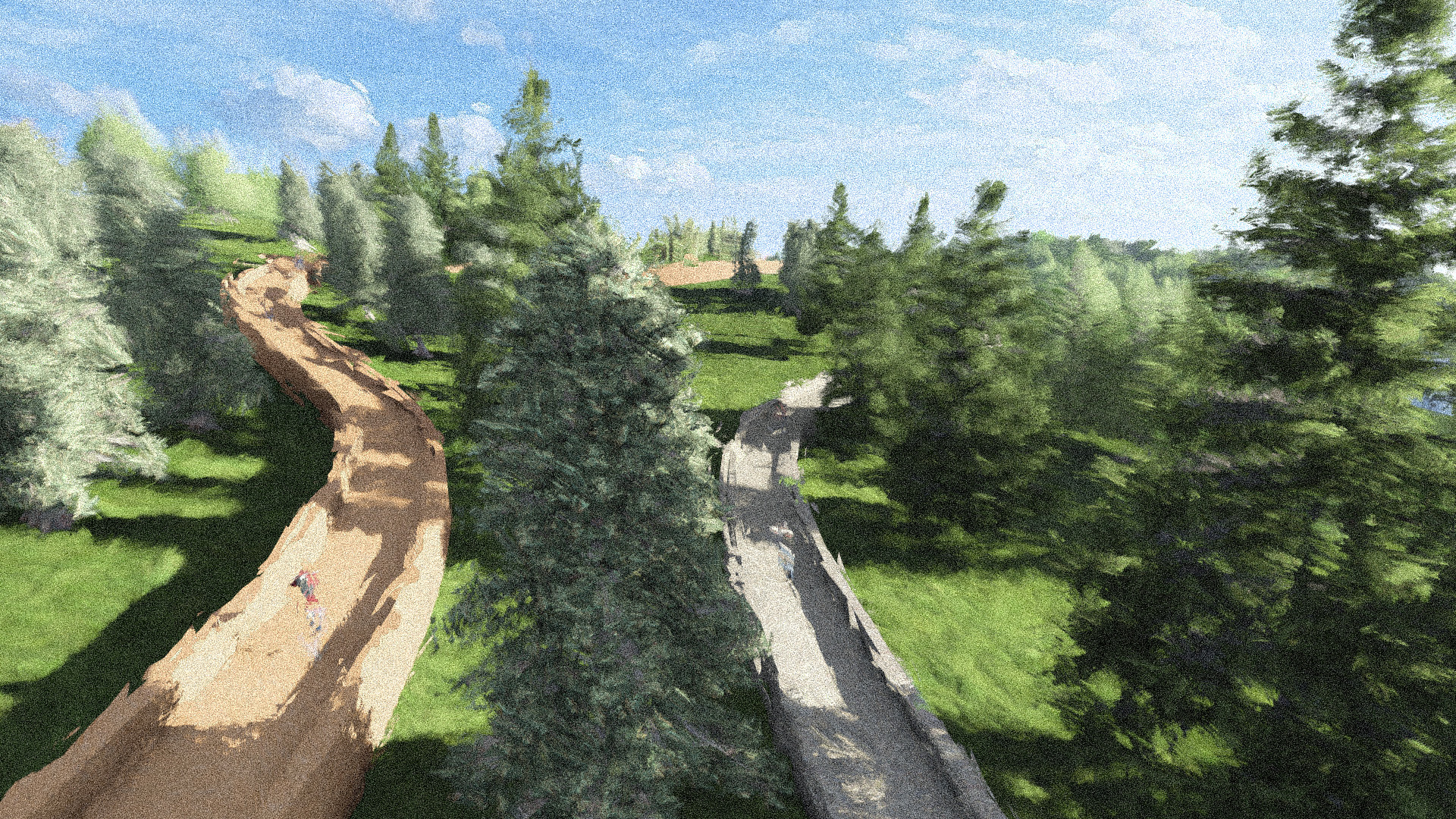
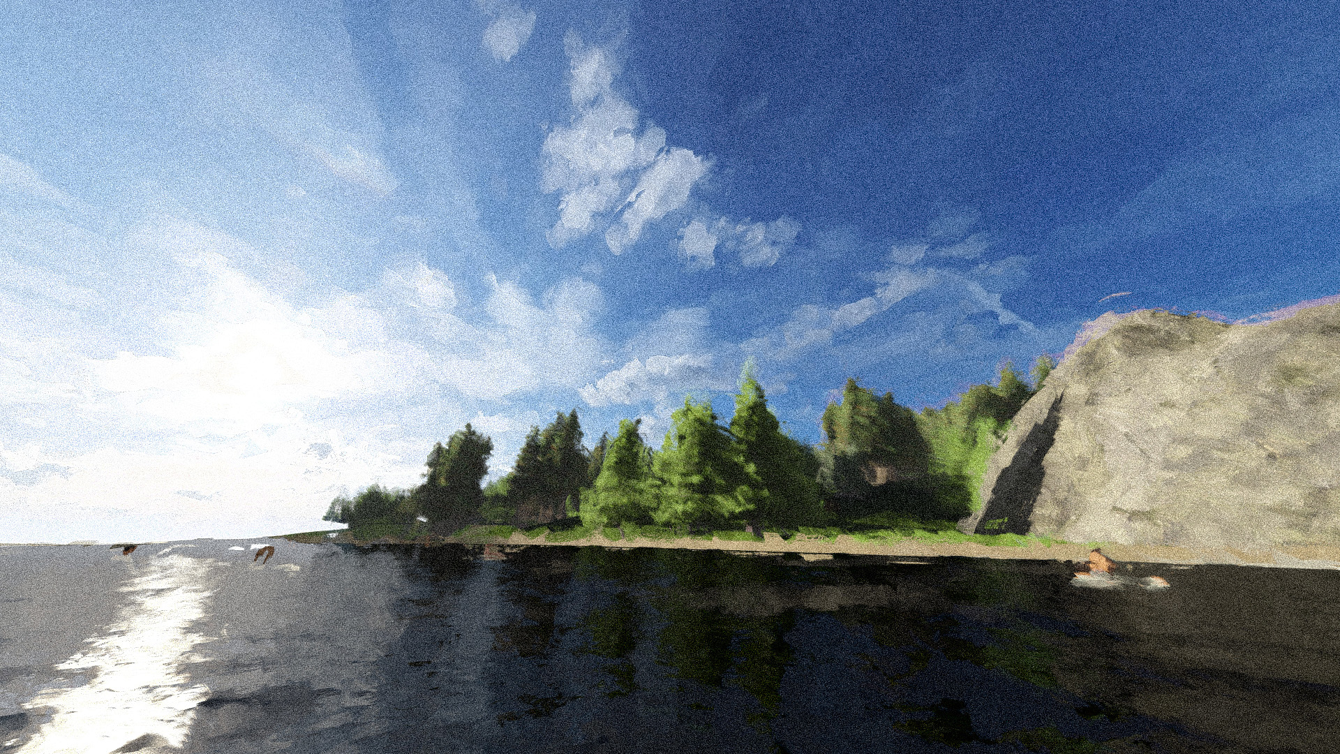
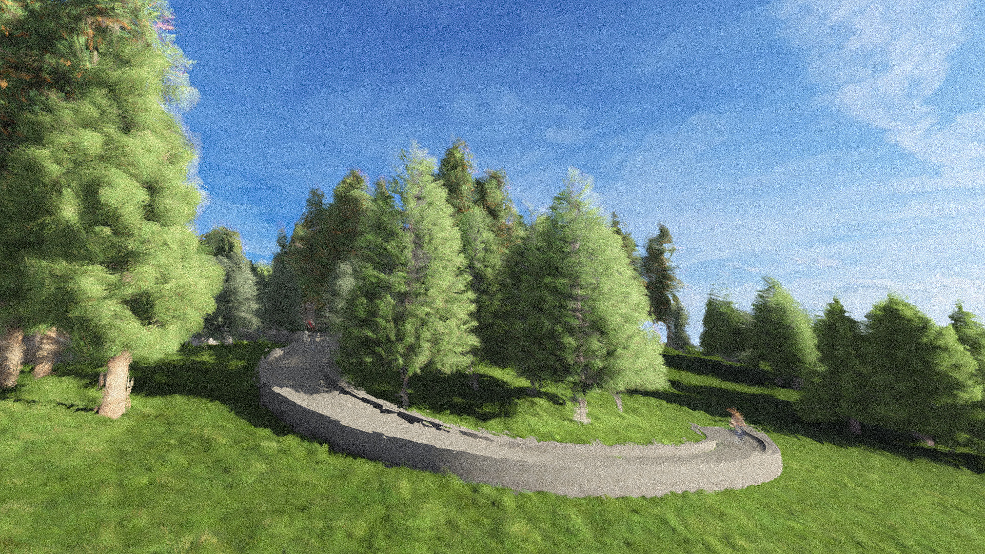
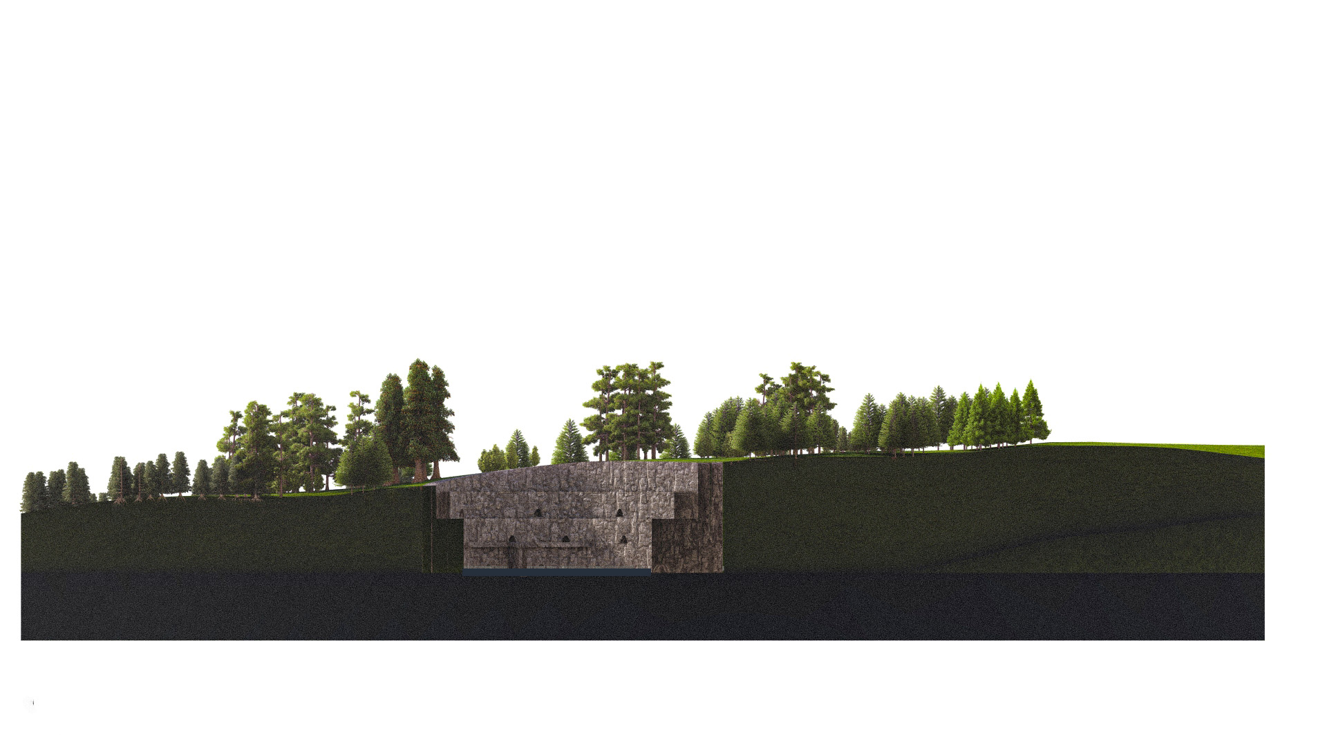
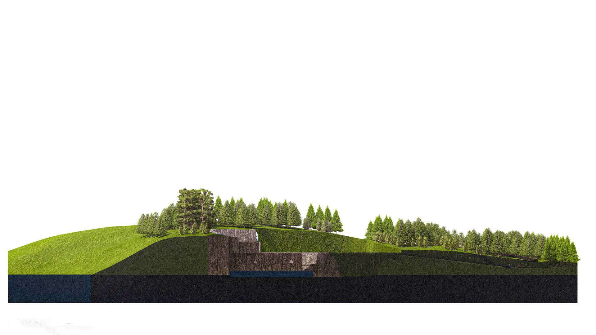
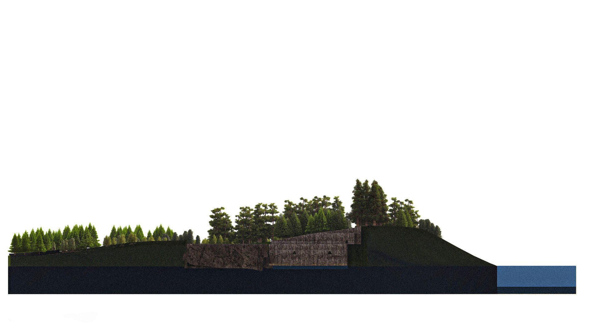
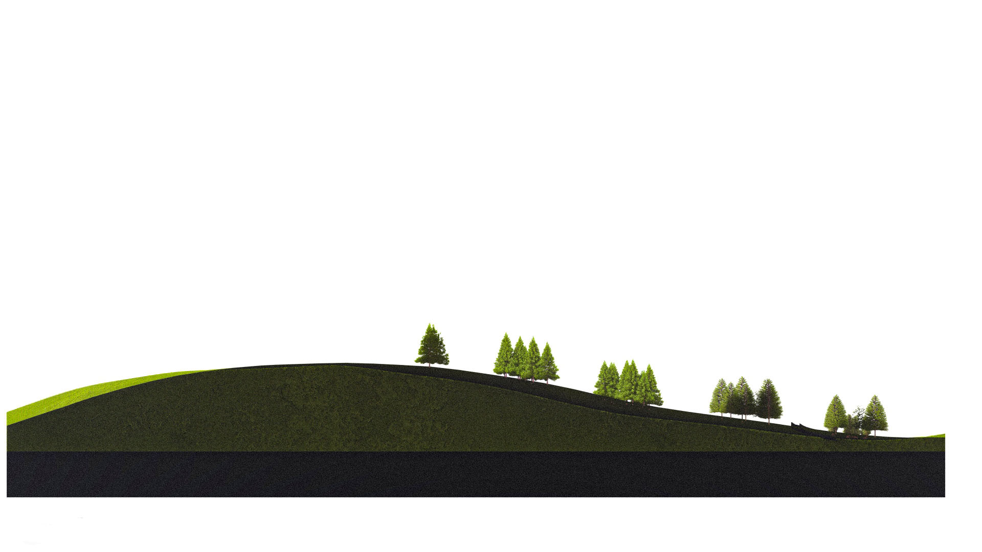
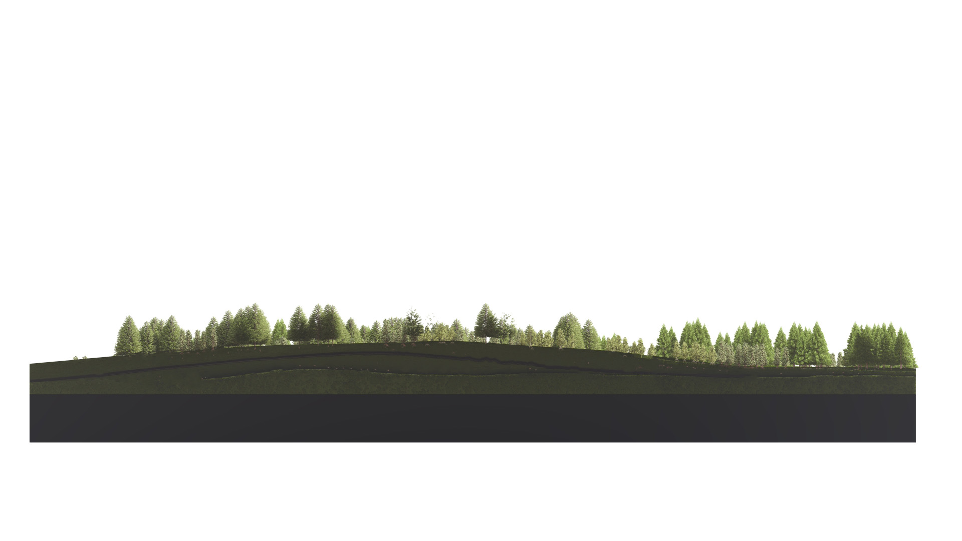
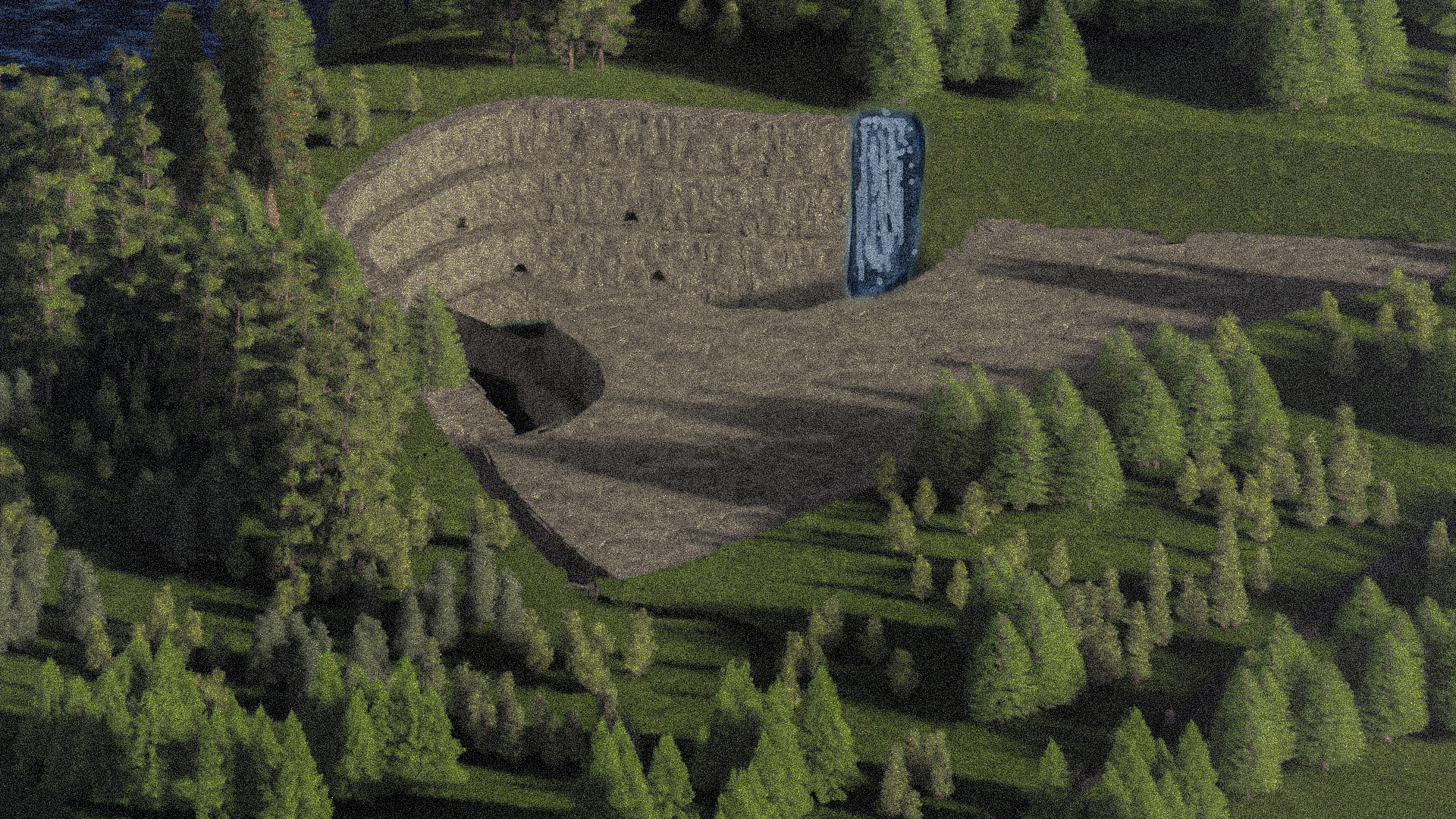
Extractive Archipelago begins with a single plant — Rumex Crispus, the Curly Dock native to Vinalhaven Island, Maine. Through mapping the island's ecology, habitats, and quarrying history, the project proposes a Climate Resilience Memorial Park at Barton's Quarry: a 51km triathlon route threading swimming paths, biking trails, and running circuits across the island's landscape, connecting quarry nodes and coastal edges. At the center is the quarry itself — transformed into a memorial chamber open to the sky, where stone walls rise from dark water and the eagle's presence marks the harmony between extraction and return.

Vinalhaven — ecological map 1, plant and species distribution
01Vinalhaven — ecological map 1, plant and species distribution
Vinalhaven — ecological map 2, natural systems
02Vinalhaven — ecological map 2, natural systems
Vinalhaven — ecological map 3, existing condition
03Vinalhaven — ecological map 3, existing condition
Vinalhaven — climate resilience memorial park, bald eagle nesting
04Vinalhaven — climate resilience memorial park, bald eagle nesting
Vinalhaven — triathlon master plan, swimming / biking / running paths
05Vinalhaven — triathlon master plan, swimming / biking / running paths
Node 03 — causeway approach across the quarry pond
06Node 03 — causeway approach across the quarry pond
Node 06 — earthwork berm and pedestrian path
07Node 06 — earthwork berm and pedestrian path
Node 05 — woodland path through the regrown quarry
08Node 05 — woodland path through the regrown quarry
Node 01 — quarry edge and water's surface
09Node 01 — quarry edge and water's surface
Node 04 — ridge path with distant horizon
10Node 04 — ridge path with distant horizon
Node 11 — curved overlook through the spruce stand
11Node 11 — curved overlook through the spruce stand
Orthographic watercolor — memorial stone in the clearing
12Orthographic watercolor — memorial stone in the clearing
Site section — front, the buried memorial chamber
13Site section — front, the buried memorial chamber
Site section — left, hillside approach into the chamber
14Site section — left, hillside approach into the chamber
Site section — right, chamber meets the water's edge
15Site section — right, chamber meets the water's edge
Landscape section 01 — wooded knoll profile
16Landscape section 01 — wooded knoll profile
Landscape section 02 — ridge line through the spruce stand
17Landscape section 02 — ridge line through the spruce stand